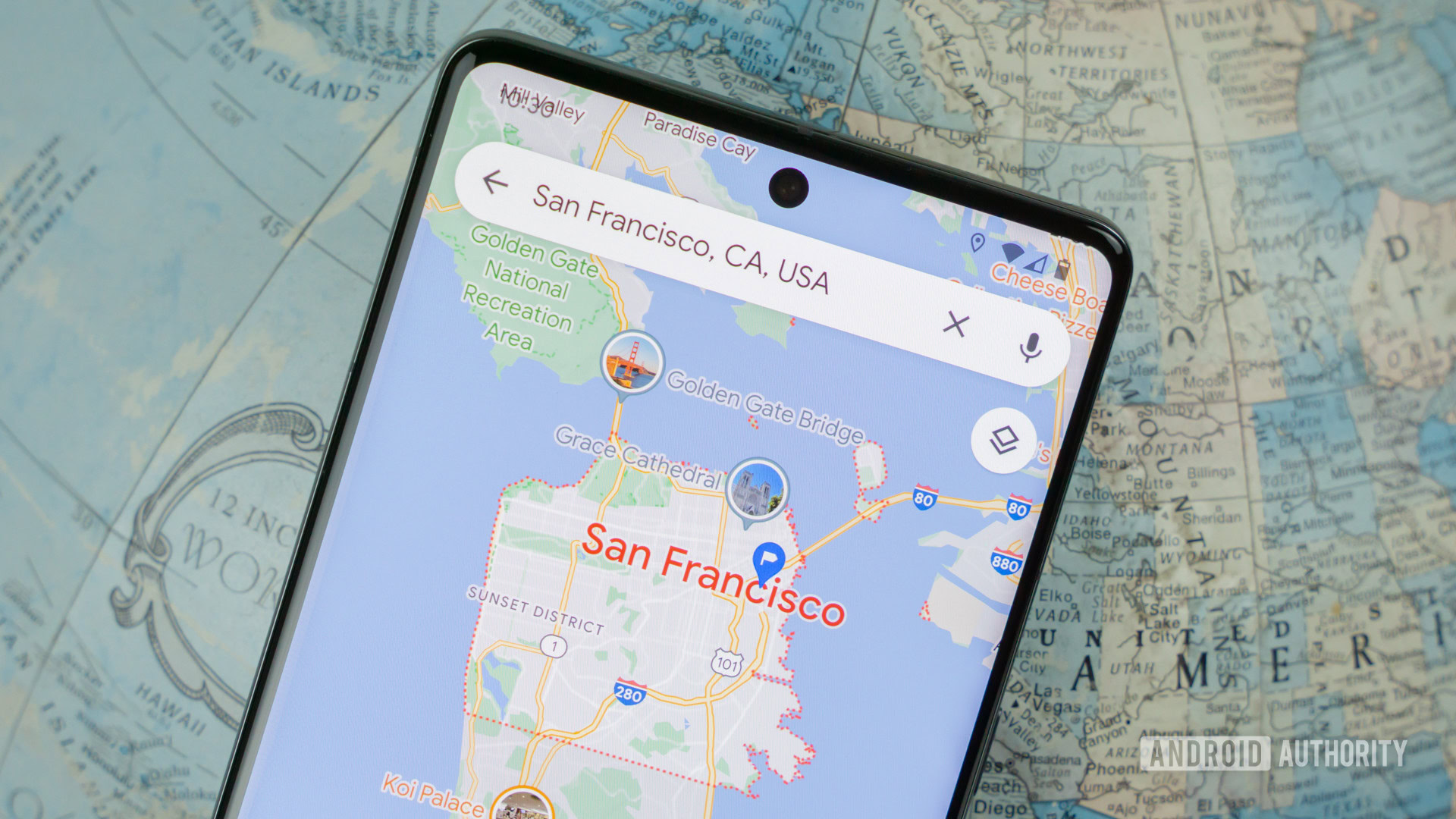
Credit: Edgar Cervantes / Android Authority
- Google Earth now offers historical imagery, allowing users to explore aerial photos dating back up to 80 years.
- Street View is also expanding to nearly 80 countries, with fresh imagery added for existing countries.
- Google also announced improvements in satellite imagery using AI to remove obstructions like haze.
Google has announced a series of enhancements to its Earth and Maps platforms aimed at providing users with a more immersive and informative experience. These updates include the introduction of historical imagery in Google Earth, a substantial expansion of Street View coverage, and the use of AI to refine satellite imagery.
A highlight of the update is the addition of historical imagery to Google Earth, allowing users to journey back in time and witness how landscapes have transformed over the decades. This feature should offer insights into the impact of human activity and climate change, presenting a stark visual record of how forests, cities, and natural features have evolved.
from Android Authority https://ift.tt/CMbph4a
via IFTTT

Post a Comment